http://www.openwebglobe.org/gallery/video/
http://www.openwebglobe.org/gallery/screenshots/
http://vterrain.org/Packages/NonCom/
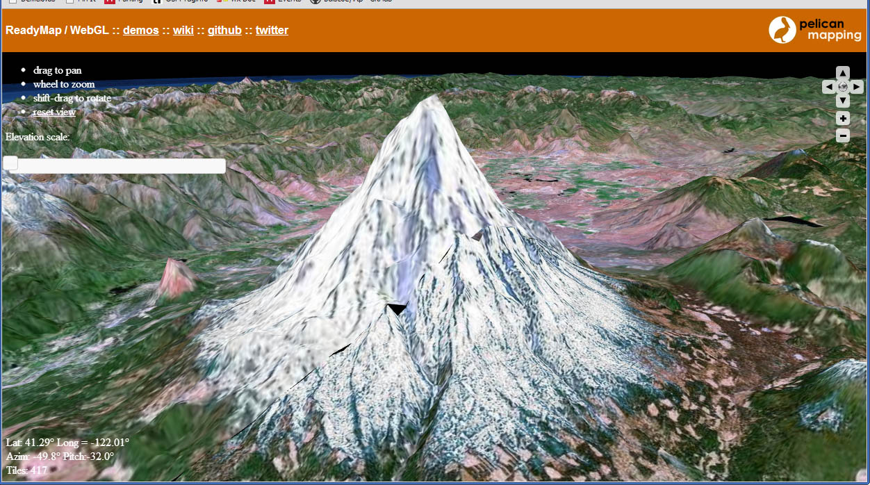
- Can do imagery, elevation as tiled TINs, and even streamable colorized point clouds(!)
- The demo includes a chunk of Switzerland.
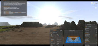
- An impressive WebGL implementation of a smooth, tiling, well instrumented terrain engine with a nice GUI. It uses geomipmaps with strips or skirts, detail textures, time of day lighting with cast shadows, and more. The issue of how to do smooth paging in JS (no multithreading) is addressed.

- including some like Trigger Rally that feature terrain
'Multimedia > Global Earth' 카테고리의 다른 글
| OpenWebGlobe 관련된 내용 (0) | 2013.07.09 |
|---|---|
| templateGeoTemplate - Television Wiki (0) | 2013.03.27 |
| Watch pifx Episodes Videos Blip (0) | 2013.03.27 |
| Digitale bymodeller [GIS , MAP, Earth] (0) | 2013.03.27 |
| [Realitymaps] (0) | 2013.01.09 |
| [Earth] - Open Source Software (0) | 2013.01.09 |
| Global Mapper v13.1 - Working with 3D Data (0) | 2012.12.30 |
| urbancircus (0) | 2012.12.12 |
| Space Engine -가상 우주 공간 (0) | 2012.12.08 |
| 구글어스와 KML(Google Earth, Keyhole Markup Language) (2) | 2012.11.30 |